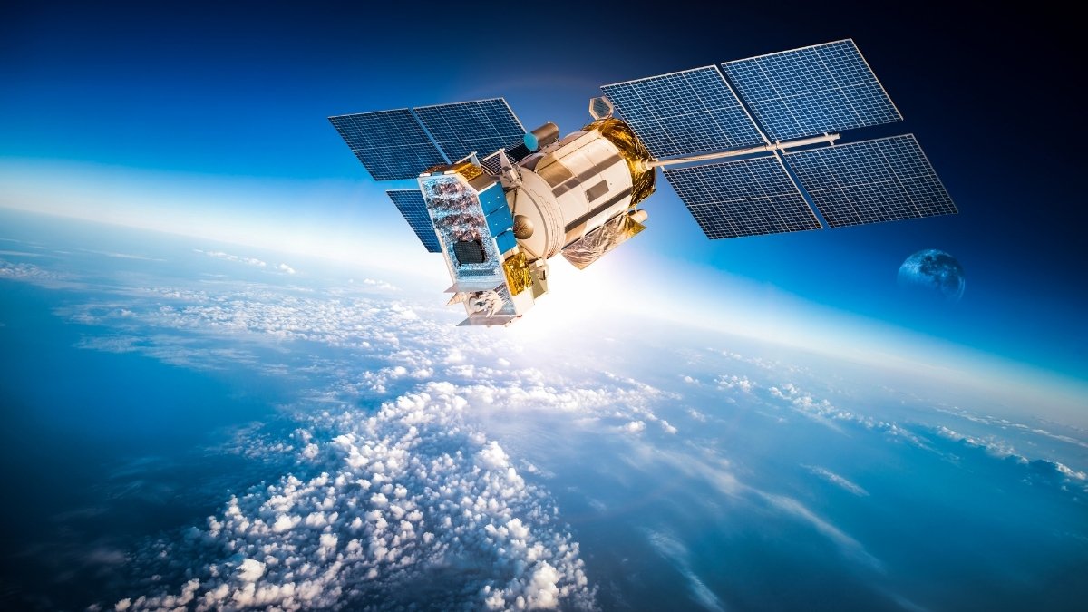
Union Minister Dr. Jitendra Singh says Space Technology is used in diverse fields to bring “Ease of Living” for the common man
Interacts with top officials of ISRO to review ongoing projects in various sectors: Dr. Jitendra Singh
Union Minister of State (Independent Charge) Development of North Eastern Region (DoNER), MoS PMO, Personnel, Public Grievances, Pensions, Atomic Energy and Space Dr. Jitendra Singh today said that India’s Space Technology is used in various fields to bring the “Ease of Living” for Common man. Interacting with senior officials of the Indian Space Research Organization (ISRO) here, he said that ISRO is no longer confined mainly to the launching of satellites, but it has been constantly enlarging its role in development activities in the last seven years, thus contributing to Prime Minister Narendra Modi’s mission of “Transforming India”.
ISRO scientists briefed Dr. Jitendra Singh about the widespread application of Space Technology in fields like Agriculture, Soils, Water Resources, Land Use/Land Cover, Rural Development, Earth and Climate Studies, Geosciences, Urban & Infrastructure, Disaster Management Support, Forestry, and Ecology and Using Geospatial Technology as a tool for enabling Decision Support Systems.
Dr. Jitendra Singh recalled that over five years back, on the intervention of Prime Minister Narendra Modi, an extensive brain-storming exercise was held in the union capital wherein representatives from different Ministries and Departments were engaged in intense interaction with scientists from ISRO and Department of Space in order to work out how best space technology could be utilized as a modern tool for supplementing, improving and expediting infrastructural development as well as the implementation of various welfare schemes. Following this, he said, space technology is now being used in diverse sectors including Railways, Roads and Bridges, Medical management/telemedicine, procurement of timely Utilization Certificates, disaster forecast, and management, etc.
Dr. Jitendra Singh said, in agriculture, Satellite-derived seasonal cropping patterns, experiments on yield estimation, estimation of net-sown crop area, and agricultural drought assessment studies are being conducted. Similarly, in the area of Soils, land degradation maps were generated and are useful for planning soil conservation/reclamation programs, land use planning, bringing additional areas into cultivation, and also improving productivity levels in degraded lands. Maps of the salt-affected and waterlogging areas, soil erosion maps are provided in the BHUVAN portal. He said Satellite data from IRS sensors are being used to generate soil maps through monoscopic (non-stereoscopic) visual interpretation and computer-assisted digital analysis approaches
Dr. Jitendra Singh stated that in the field of Forestry, apart from other activities, analysis of forest cover change, spatial biomass estimation, Community Biodiversity characterization, Forest fire alert system, inputs to working plan and wildlife plan preparation, Forest carbon sequestration, Inputs to UNFCCC, etc are being carried out in close collaboration with MOEF & CC, DBT, FSI, and State Forest Departments. In the area of Disaster Management, current activities are: Near Real-Time Flood & Cyclone monitoring & mapping in the country, Flood Hazard/Risk Zonation for Flood-prone states, Spatial Flood Early Warning, forest fire alerts, landslide zonation and inventory, agricultural drought studies among others, he added.
On Rural Development, Dr. Jitendra Singh said that there are several initiatives/projects, which are taken up by State and Central Government departments at a micro and macro level to enrich the assets required in the rural sector. Some examples are Mahatma Gandhi National Rural Employment Guarantee Act (MGNREGA) (collected information on 3.5 crore assets), Accelerated Irrigation Benefit Programme (AIBP), Integrated Watershed Management, Programme (IWMP) (collected information on 1.5 Lakh points), and On-Farm Water Management (OFWM), National Health Resource Repository (NHRR) Project, Rural connectivity, Sanitation, which uses the latest remote sensing and GIS technologies in operational modes.
Striking a note of appreciation, Dr. Jitendra Singh said, it is not a widely known fact that ISRO had provided Liquid Oxygen continuously on a large scale to several State governments from their own manufacturing facilities or from the existing stock during the COVID pandemic. Not only this, he said, ISRO also engaged in repurposing existing resources, scaling up of capacity of their facilities, and also transferred technology to supplement the country’s fight against the second wave of COVID-19, when the wave was at its peak.