Union Minister Dr. Jitendra Singh says, usage of the Indian Regional Navigation Satellite System(NavIC system) has increased in sectors like transportation and personal mobility
Ministry of Road Transport and Highways (MoRTH) has mandated fitting NavIC-based AIS-140 compliant vehicle trackers in all the public and commercial vehicles
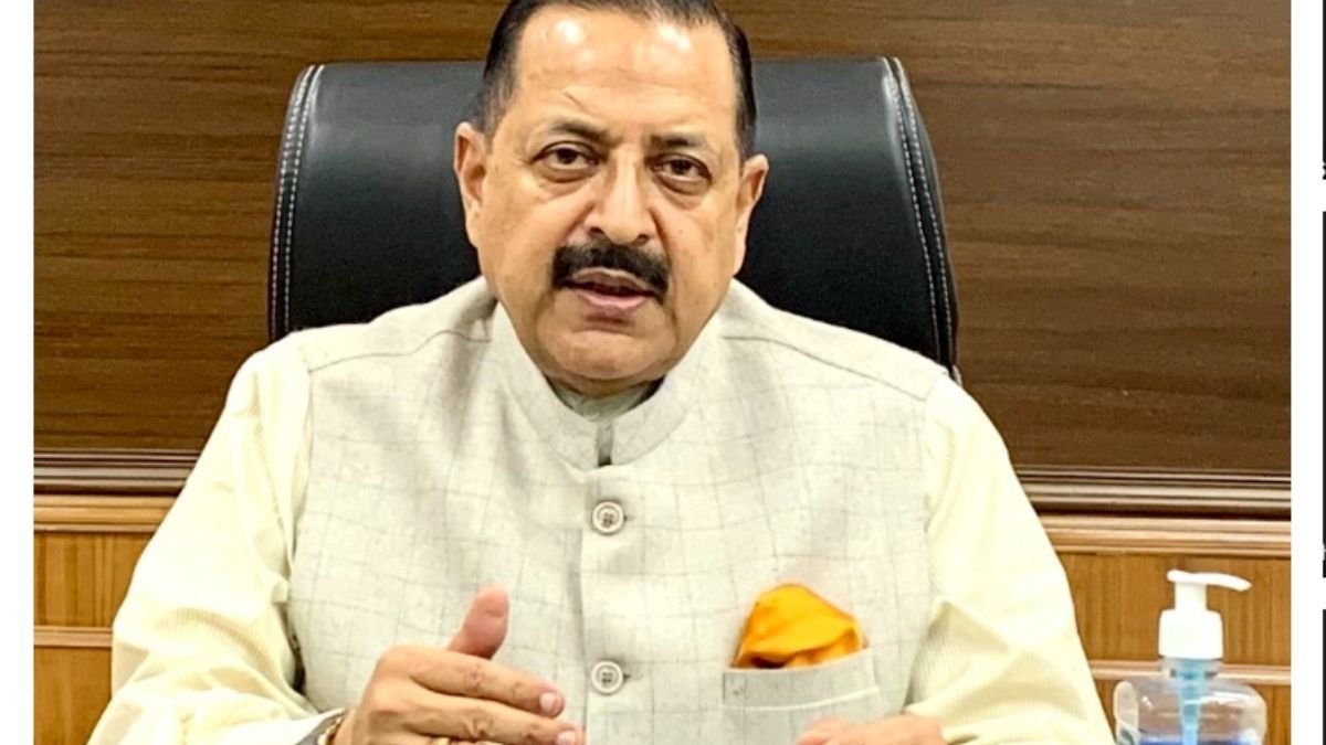
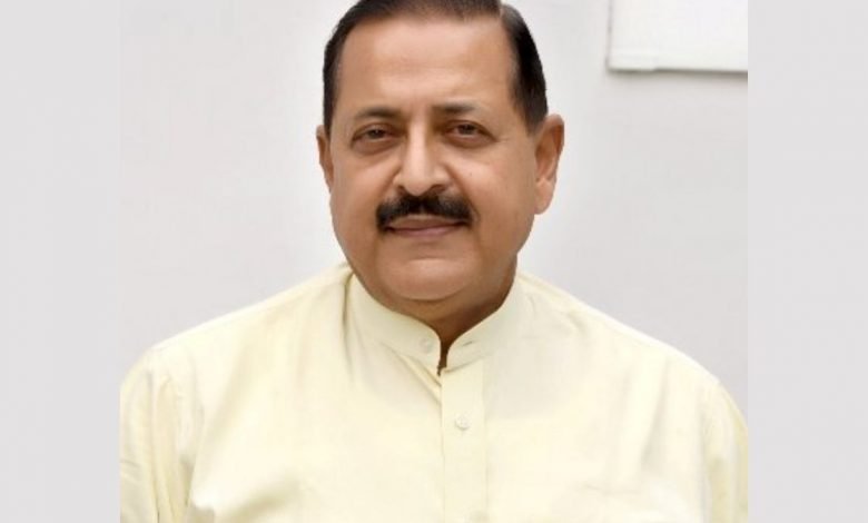
Union Minister of State (Independent Charge) Science & Technology; Minister of State (Independent Charge) Earth Sciences; MoS PMO, Personnel, Public Grievances, Pensions, Atomic Energy and Space, Dr. Jitendra Singh said that the usage of the Indian Regional Navigation Satellite System (NavIC system) has increased since its launch in 2012 in the sectors like transportation and personal mobility. Satellite civilian signals are free-to-air.
In a written reply to a question in the Lok Sabha today, he said that the Ministry of Road Transport and Highways (MoRTH) has mandated fitting NavIC-based AIS-140 compliant vehicle trackers in all the public and commercial vehicles. There is also an increase in the number of NavIC enabled smart mobile phone models in the Indian market. The authorized defense labs have realized NavIC enabled receiver modules for strategic applications.
Google Maps is an application that uses location data from the Global Navigation Satellite System (GNSS). Like any other GNSS, Satellite provides the location data to the map application like Google Maps. Satellite performance is on par with other non-Indian Global Positioning Systems and is a strong alternative to the non-Indian Global Positioning Systems within the coverage area.
