Glacial Lake Atlas To Be Used In Carrying Out Climate Change Impact Analysis And Disaster Mitigation Planning
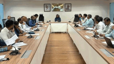
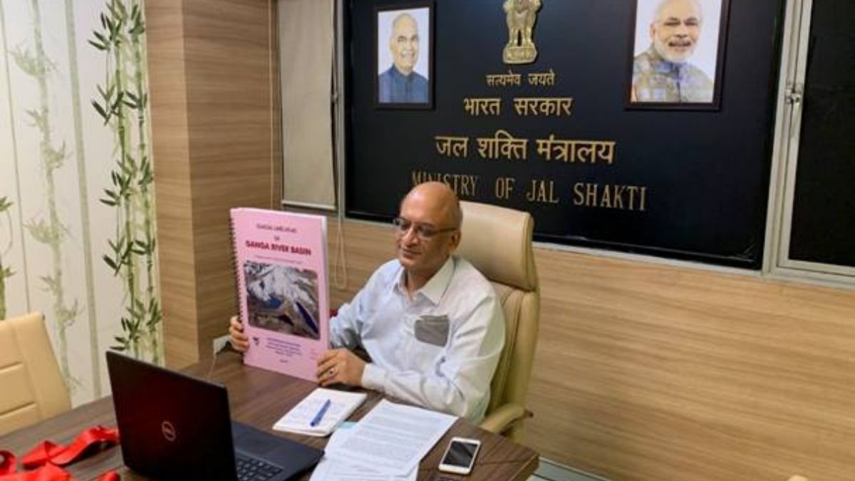
The Secretary, Department of Water Resources, River Development and Ganga Rejuvenation (DoWR, RD & GR), Sh. Pankaj Kumar today released the glacial Lake Atlas of Ganga Basin in a virtual event, in the presence of Secretary, Department of Space & Chairman, ISRO, Dr. K. Sivan, and other senior officers of DoWR, RD & GR, Department of Space, National Remote Sensing Centre (NRSC) and State Government Authorities.
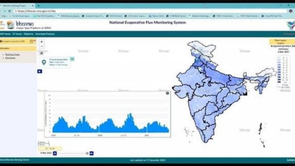
The present glacial lake atlas is based on the inventoried Glacial Lake Atlas in part of the Ganga River basin from its origin to foothills of the Himalayas covering a catchment area of 2,47,109 sq. km. The study portion of the Ganga River basin covers part of India and the transboundary region. The Atlas is available on the Bhuvan portal of NRSC, ISRO (https://bhuvan.nrsc.gov.in/nhp/), India WRIS Portal (www.indiawris.gov.in) and NHP web site of DoWR, RD & GR (www.nhp.mowr.gov.in).
The Secretary, Department of Space & Chairman, ISRO, Dr. K. Sivan also launched the NHP –Bhuvan portal of NRSC. The National Hydrology Project or NHP-BhuvanPortal is a repository of information on the initiatives undertaken by NRSC under NHP with a facility to download the reports and knowledge products being developed by NRSC. Link for the portal: https://bhuvan.nrsc.gov.in/nhp/
Secretary, DOWR, RD & GR, Shri Pankaj Kumar congratulated ISRO, NRSC, and the NHP team for making painstaking efforts in the development of knowledge products for the benefit of people at large. He highlighted the possible uses of the Glacial Lake Atlas for the water resources professionals, researchers, disaster management authorities, and other stakeholders for managing the Glacial Lake Atlas as well as to mitigate the possible adverse impacts of Glacial Lake Outburst Floods (GLOF) and climate change. He opined that this initiative under NHP, a Central Sector Scheme implemented by the Department of Water Resources, River Development & Ganga Rejuvenation (DOWR, RD & GR) is a step forward for facilitating the acquisition of reliable information and putting the same in the public domain which would pave the way for an effective water resource development and management.
Secretary, Department of Space & Chairman, ISRO, Dr. K. Sivan highlighted the long-term association of Department of Space/NRSC and Department of Water Resources, RD & GR (the then Ministry of Water Resources) in the development of various applications pertaining to Water Resources information and management system using space applications and vowed to take this association forward under National Hydrology Project in true spirit for the benefit of the masses. He also stressed the need to explore new areas of collaboration through the use of space technology for efficient water resources management.
National Remote Sensing Centre (NRSC), Indian Space Research Organization (ISRO), Hyderabad as one of the Implementing Agencies under the National Hydrology Project (NHP), is carrying out hydrological studies using satellite data and geospatial techniques. As a part of the responsibilities entrusted to NRSC under NHP, detailed Glacial Lake Atlas inventory, prioritization for Glacial Lake Outburst Flood (GLOF) risk, and simulation of GLOF for selected lakes have been taken up for all the catchments of Indian Himalayan Rivers. Under this activity, an updated inventory of glacial lakes using high-resolution satellite data was prepared for the Indus River basin and published in December 2020, and currently, an updated inventory of glacial lakes has been prepared for the Ganga River basin.
In the present study, Glacial Lake Atlas with a water spread area greater than 0.25 ha has been mapped using Resources at-2 (RS-2) Linear Imaging Self Scanning Sensor-IV (LISS-IV) satellite data using visual interpretation techniques. Based on its process of lake formation, location, and type of damming material, glacial lakes are identified in nine different types, majorly grouped into four categories. A total of 4,707 glacial lakes have been mapped in the Ganga River basin with a total lake water spread area of 20,685 ha.
The expected utility of the atlas is:
- The atlas provides a comprehensive and systematic glacial lake database for the Ganga River basin with a size > 0.25 ha
- In the context of climate change impact analysis, the atlas can be used as reference data for carrying out change analysis, both with respect to historical and future time periods
- The atlas also provides an authentic database for regular or periodic monitoring changes in spatial extent (expansion/shrinkage) and formation of new lakes
- The atlas can also be used in conjunction with glacier information for their retreat and climate impact studies.
- The information on glacial lakes like their type, hydrological, topographical, and associated glaciers are useful in identifying the potential critical glacial lakes and consequent GLOF risk.
- Central and State Disaster Management Authorities can make use of the atlas for disaster mitigation planning and related program.