Geological Survey of India (GSI) Organizes Activities Across the Country under Azadi Ka Amrit Mahotsav
Pays Homage to Mahatma Gandhi on the eve of 152nd Gandhi Jayanti
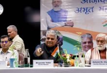
Geological Survey of India (GSI), the 171-year-old premier Geo-Scientific Organization under the Ministry of Mines has organized various activities across all the offices of GSI as part of the Azadi Ka Amrit Mahotsav program and paid homage to Mahatma Gandhi on the eve of 152nd Gandhi Jayanti. Shri Rajendra Singh Garkhal, Director General, virtually inaugurated the program from the Central Headquarters of GSI in Kolkata.
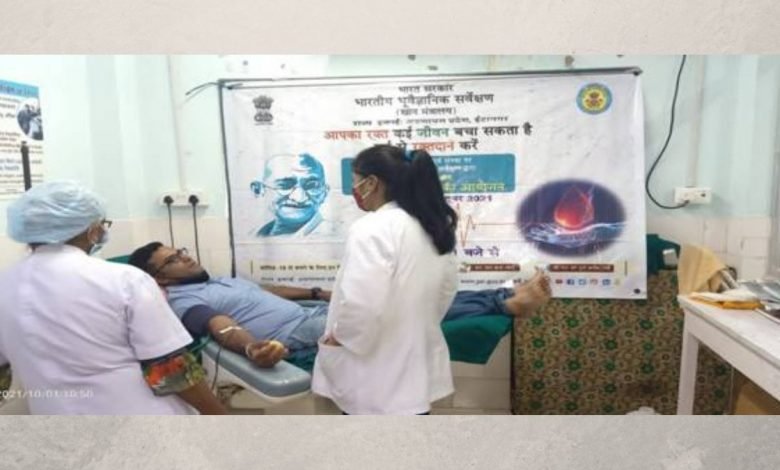
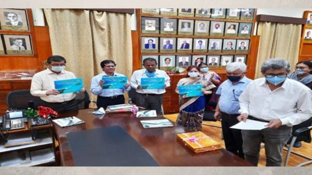
Pan India blood donation camp was held across all the offices and Coffee table books titled “Uttarakhand 2013 Deluged Landslide impact on Char Dham routes”, “Andaman Island: Glimpses Of Emerald Isles – A Geological Perspective”, “Indian Dinosaurs” and “Paleontological treasures of Rajasthan” have been released. Creatively visualized videos on (i) The Mighty Brahmaputra Tale of Eastern Himalayan Tectonics and Majuli -The Vanishing Island, (ii) Marine Mineral Exploration, (iii) Prototype landslide early warning system in Darjeeling, WB and Nilgiris, TN and (iv) Geotourism window in the state of Bihar were also launched on the occasion.

A Facebook Live Session on “Women Geologists of GSI: A story of Gender Equality” was also organized where Dr. Snigdha Ghatak and Ms. Geetanjali Rana, two women geologists from the Central Headquarters participated and enlightened the masses about past and current scenarios prevailing in GSI in this context.
The Geological Survey of India (GSI) was set up in 1851 primarily to find coal deposits for the Railways. Over the years, GSI has not only grown into a repository of geo-science information required in various fields in the country but has also attained the status of an organization of international repute. Its main functions relate to creating and updating national geoscientific information and mineral resource assessment. These objectives are achieved through ground surveys, air-borne and marine surveys, mineral prospecting and investigations, multi-disciplinary geoscientific, geo-technical, geo-environmental and natural hazards studies, glaciology, seismotectonic study, and by carrying out fundamental research.